N2 · terroir / geographical indication
Rhum de la Martinique — AOC-GI
- Location
- Martinique, France14.64 / -61.02
- Protection
- Geographical indication registered in the European UnionFile PGI-FR-02064 · in the Union since 12 June 1989
- Validation
- First versionawaiting the scholarly board
Colour: Sugar cane, as on the Atlas. Each neighbouring entry leads to its page; the inset, top right, opens the wide view.
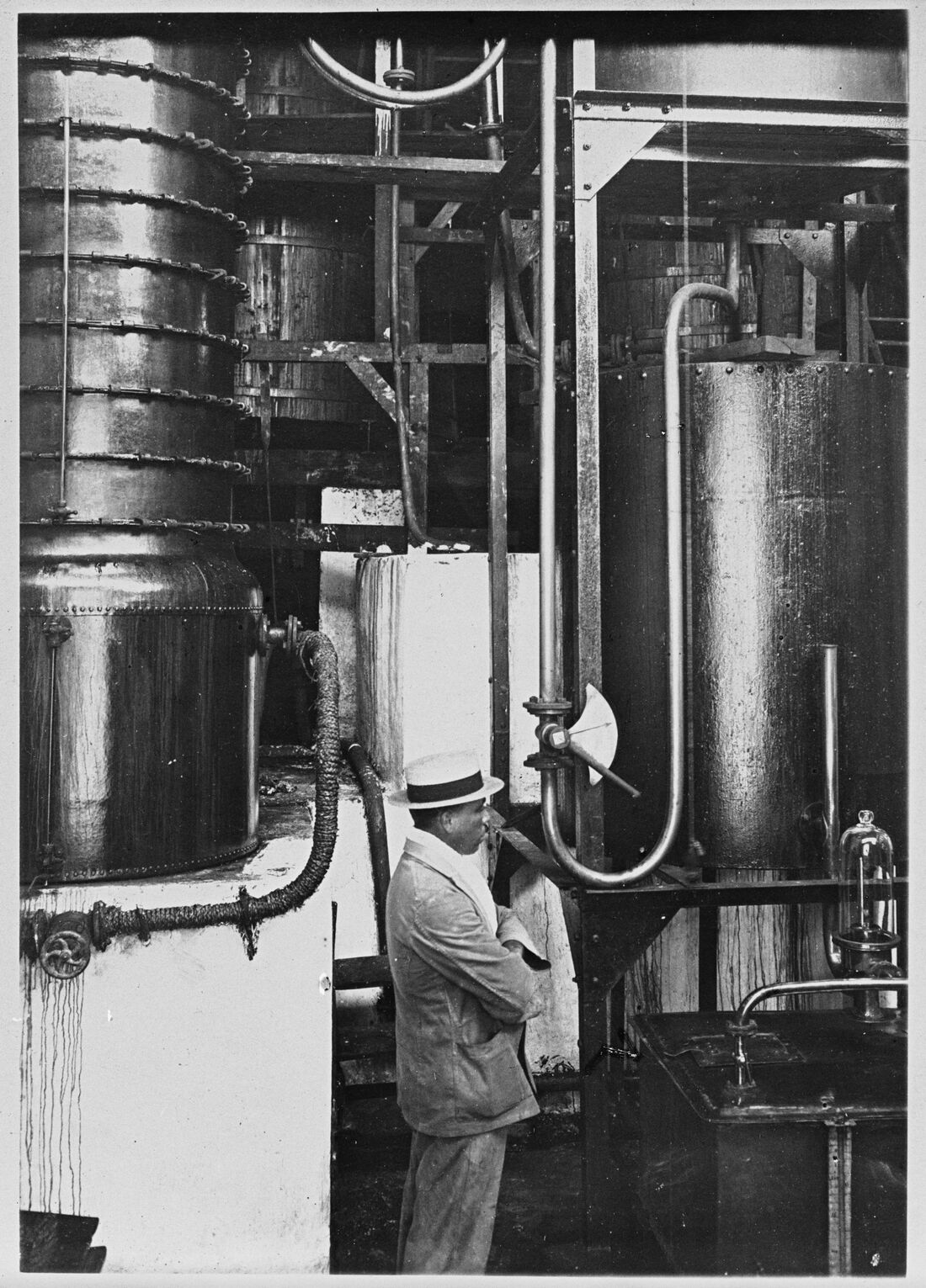
The rhum agricole of Martinique, distilled from fresh cane juice in a Creole column. Since 1996 it has been the only rum with an appellation d'origine contrôlée, with a product specification that sets the cane varieties, the yields and the method of distilling.
Distillation follows the harvest: the cane, cut between January and August, during the carême, the dry season, is crushed as quickly as possible so that its juice stays fresh.
A story
On 8 May 1902, the eruption of Mount Pelée destroyed Saint-Pierre, then the economic capital of the island and home to many distilleries. Rum production moved to other communes, where distilling continues today.
In the glass
White rum keeps fresh cane, pepper and flowers. Aged rums, under the terms VO, VSOP or XO, take on candied fruit, cocoa and wood.
How we know
A geographical indication or an appellation guarantees an origin and compliance with a controlled product specification. It says nothing about the quality of any particular bottle, nor about how artisanal the producer is: it is a guarantee of provenance and method, not a score.
The extent of this entry is recorded (Martinique), but none of these territories is in the set of outlines the site loads — it covers metropolitan France only. The map therefore does not draw the outline: it carries a point.
The distilleries of this area
A survey of the producers in this area is under way. This level of the corpus — the distillery, its history, its equipment, its archives — is the Atlas's next documentary undertaking. You can help with it.
Sources and validation
- Sources of the corpus
- Names and statuses: eAmbrosia, the official register of geographical indications of the European Union. Geometries: INAO, Délimitation des aires géographiques des SIQO (27/07/2026), Licence Ouverte v2.0, reprojected to WGS84.
- File reference
- PGI-FR-02064 eAmbrosia register of the European Union
- Protection in the Union
- Since 12 June 1989 Article 37 of Regulation 2019/787 — eAmbrosia record of 17 November 2026
- Corpus updated on
- 1 August 2026
- Validation
- First version Corpus under construction. Each entry is checked and sourced before validation by the future scholarly board. Protection status and mode of location are carried by each entry: an area delimited by a product specification and a reference-town point do not carry the same weight.